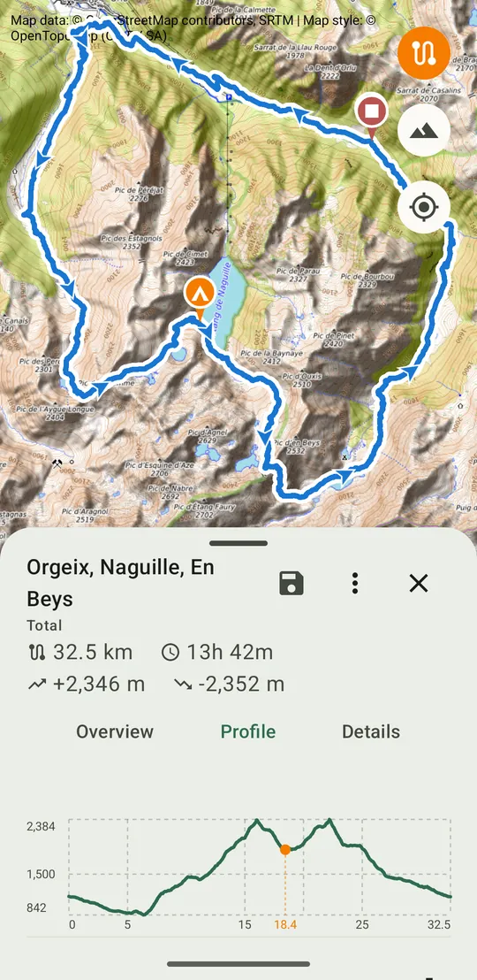
Bivouac splits a GPX track into stages around bivouac spots, then keeps every outing in a journal, with its photos and its figures.
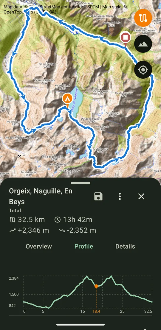
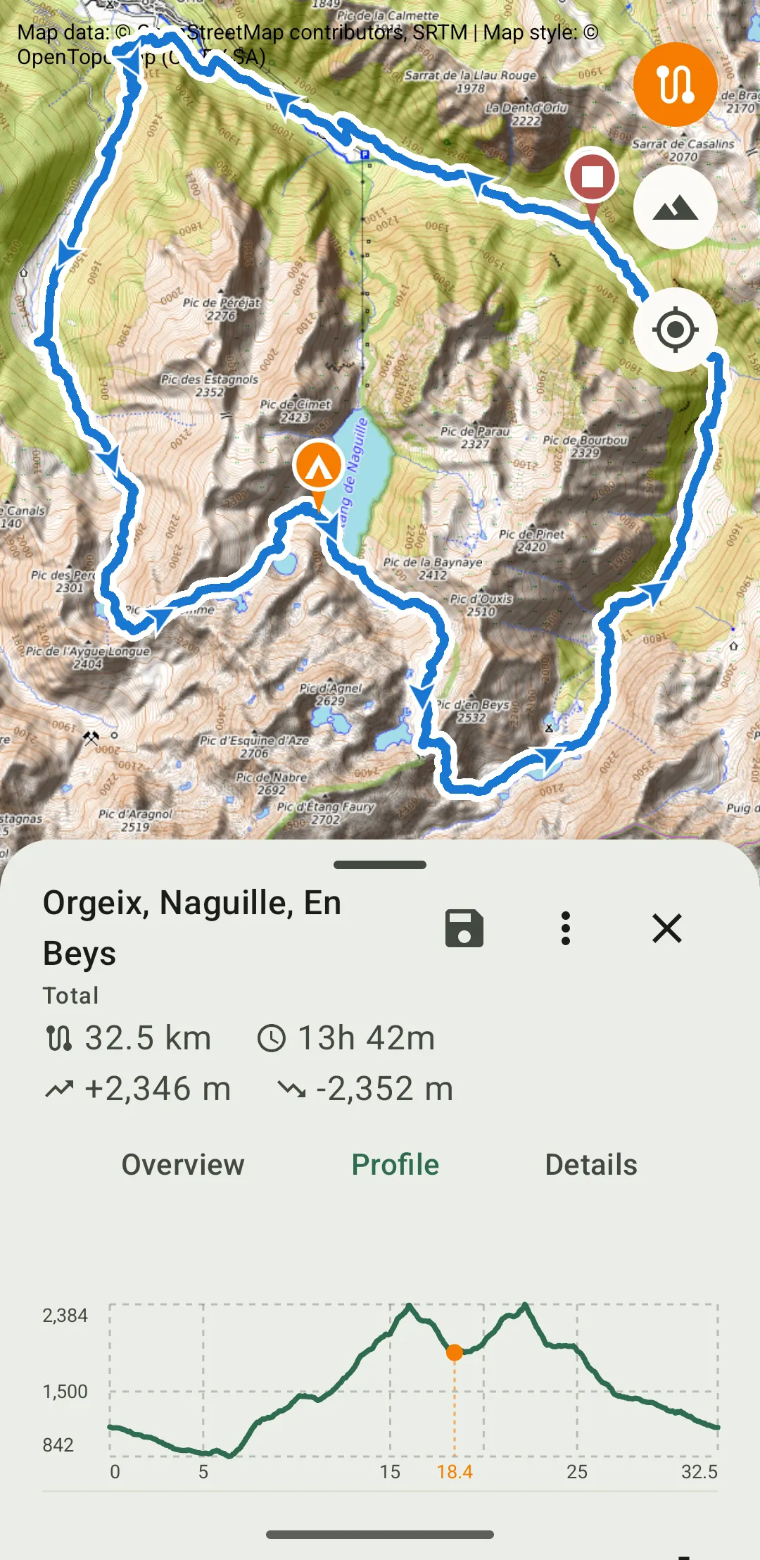
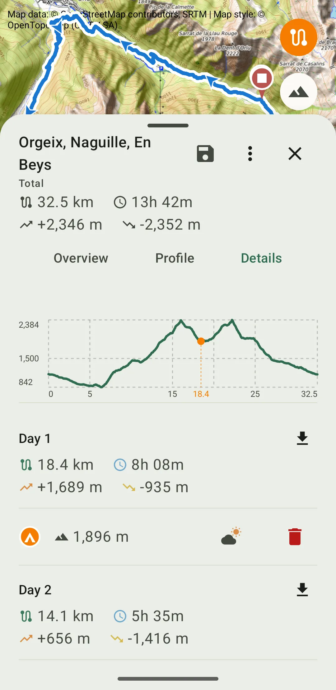
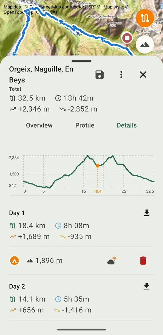
InstallImport a GPX track of one or several days, place the bivouacs on the route. Distance, elevation and estimated duration are recalculated for each stage.
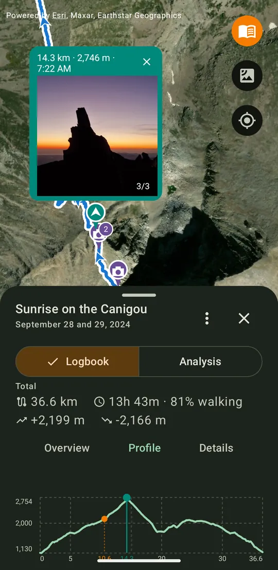
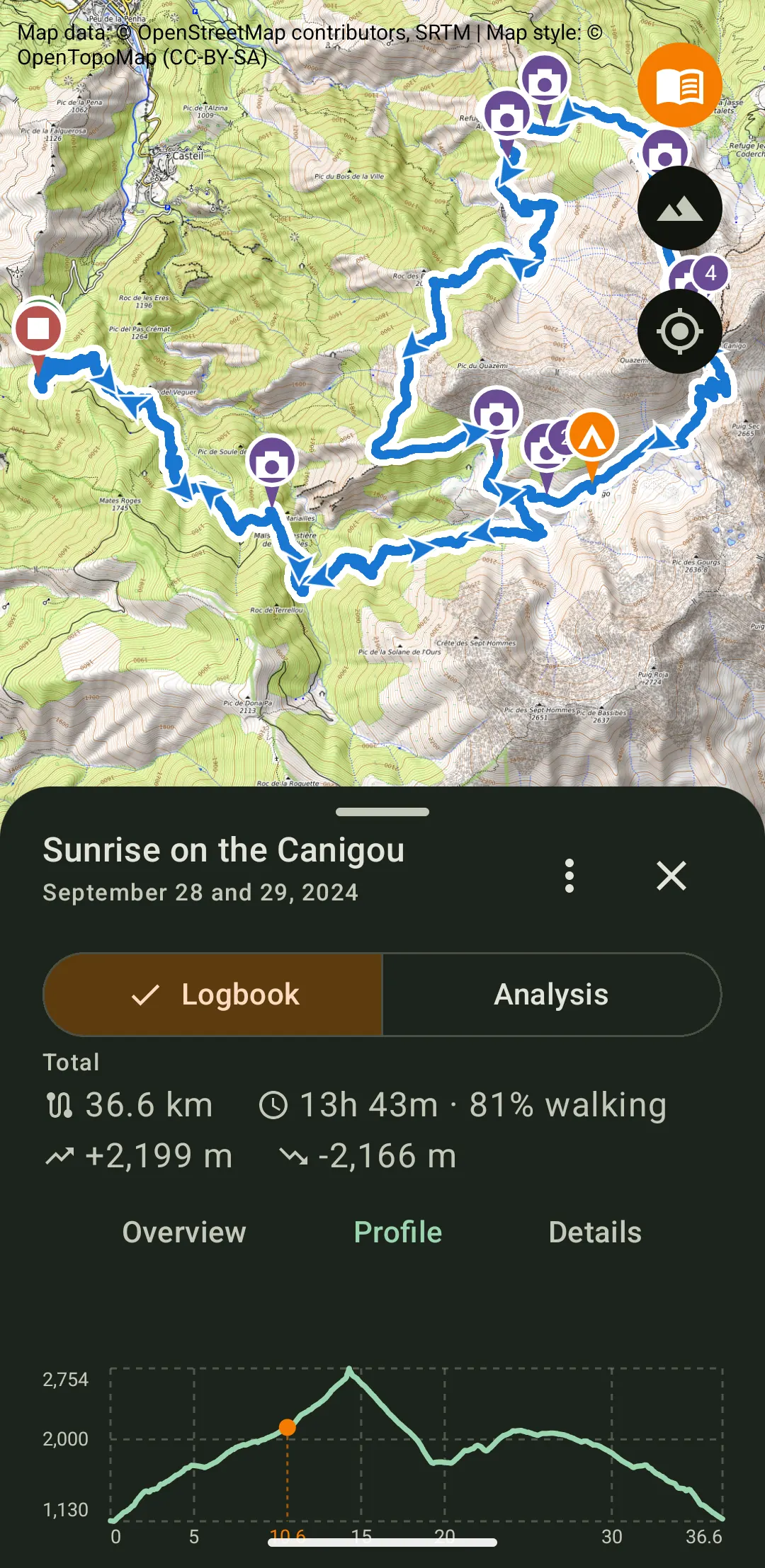
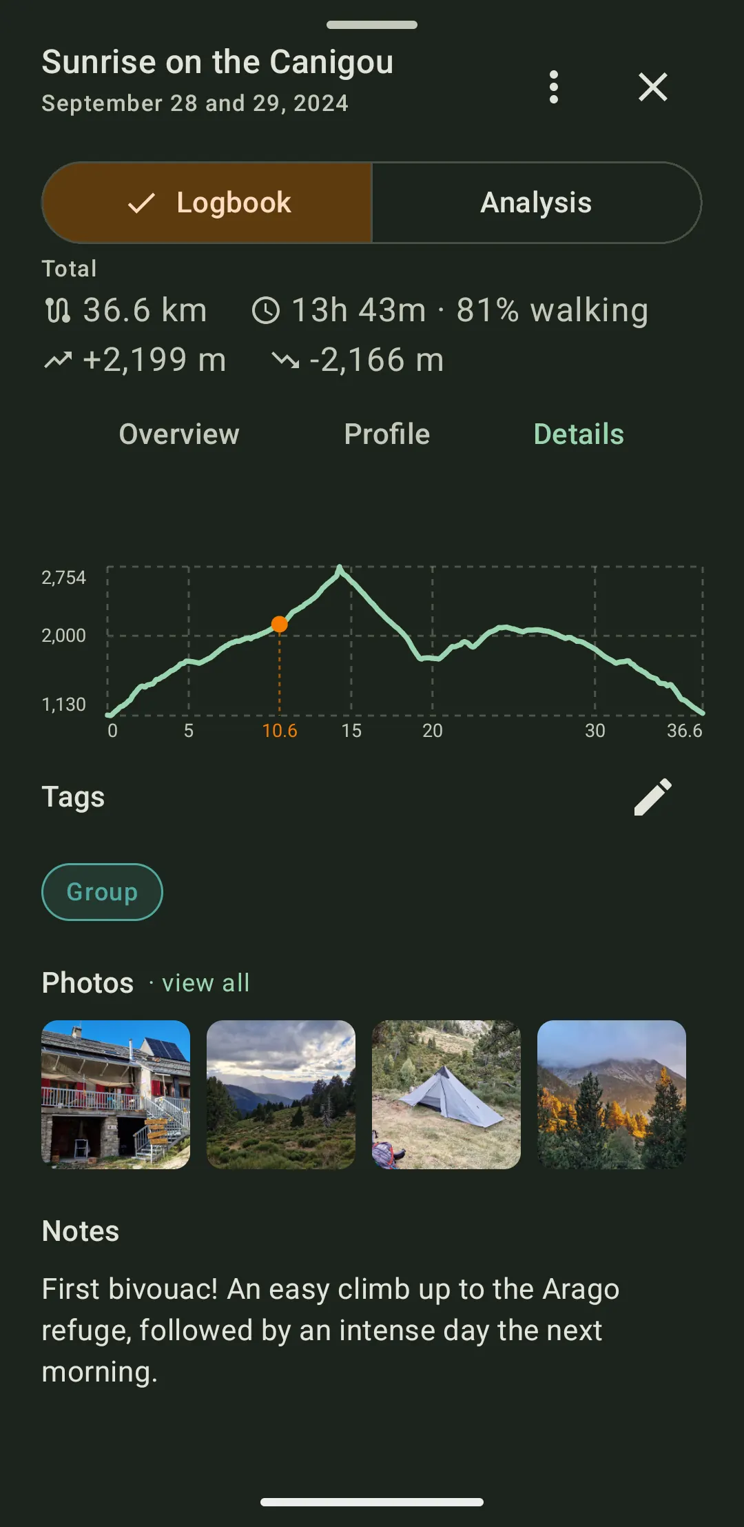
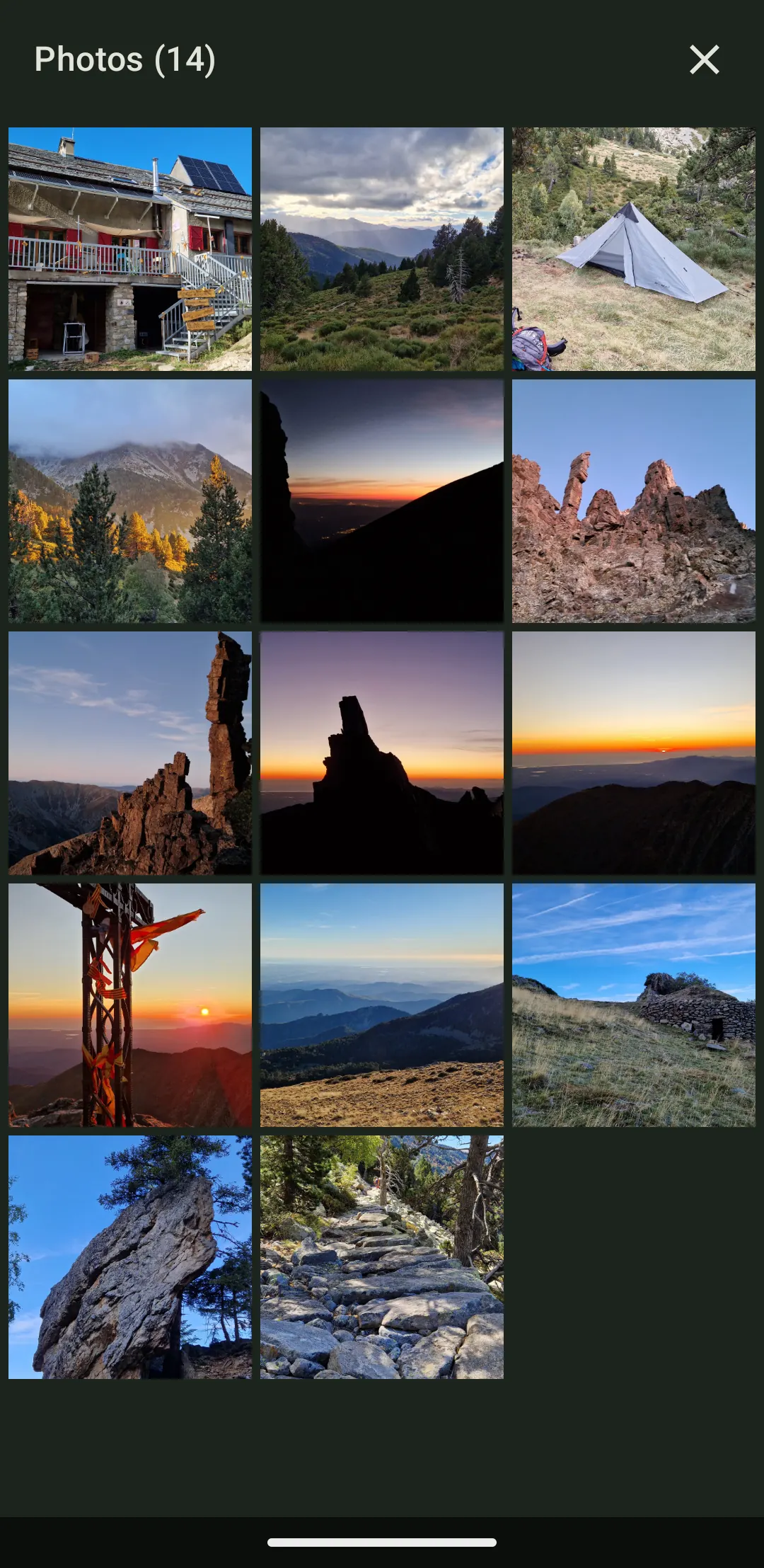
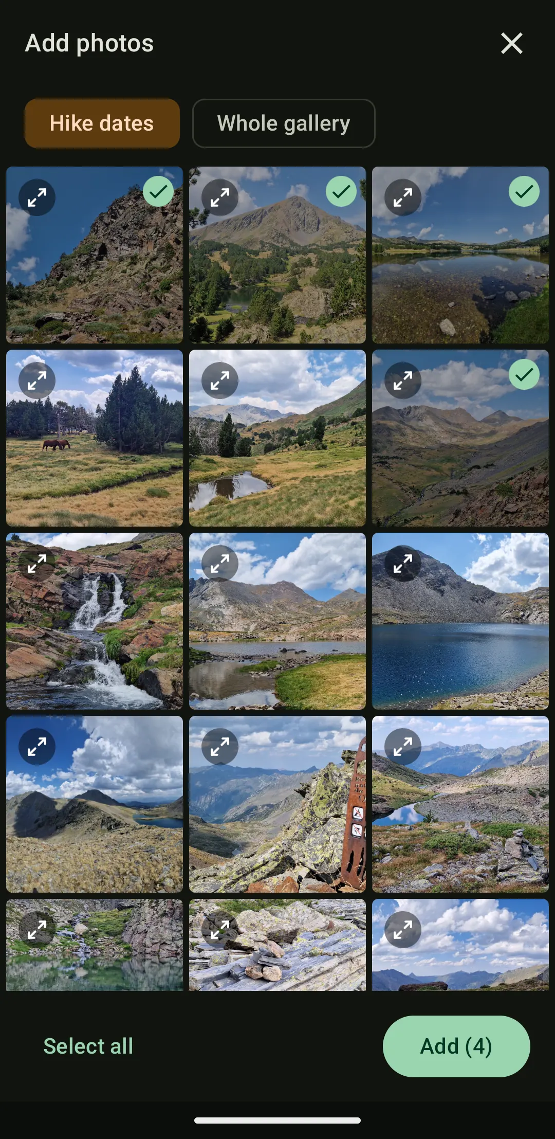
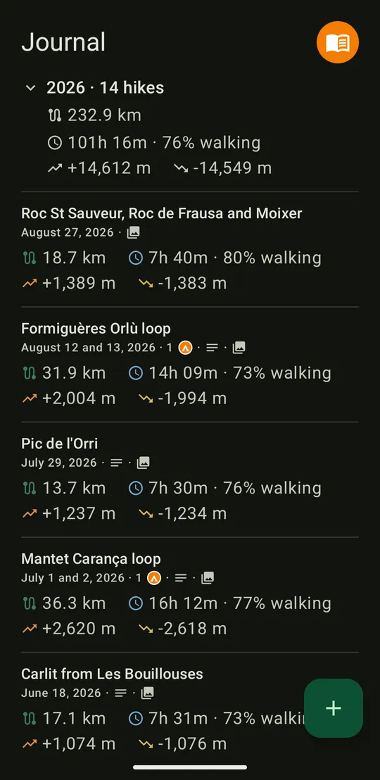
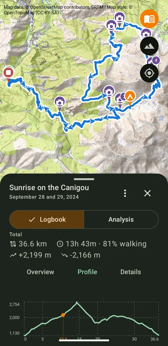
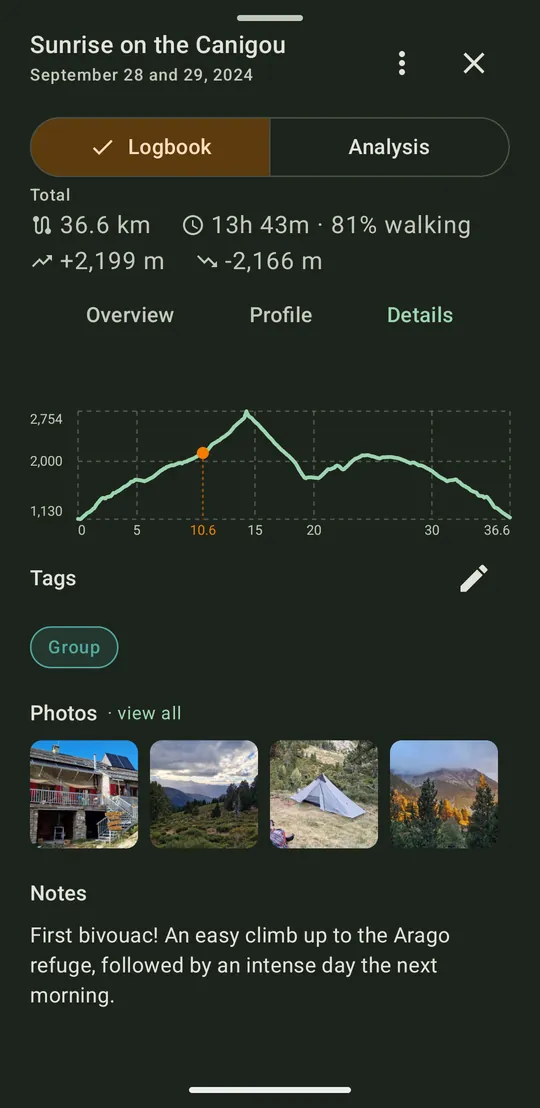
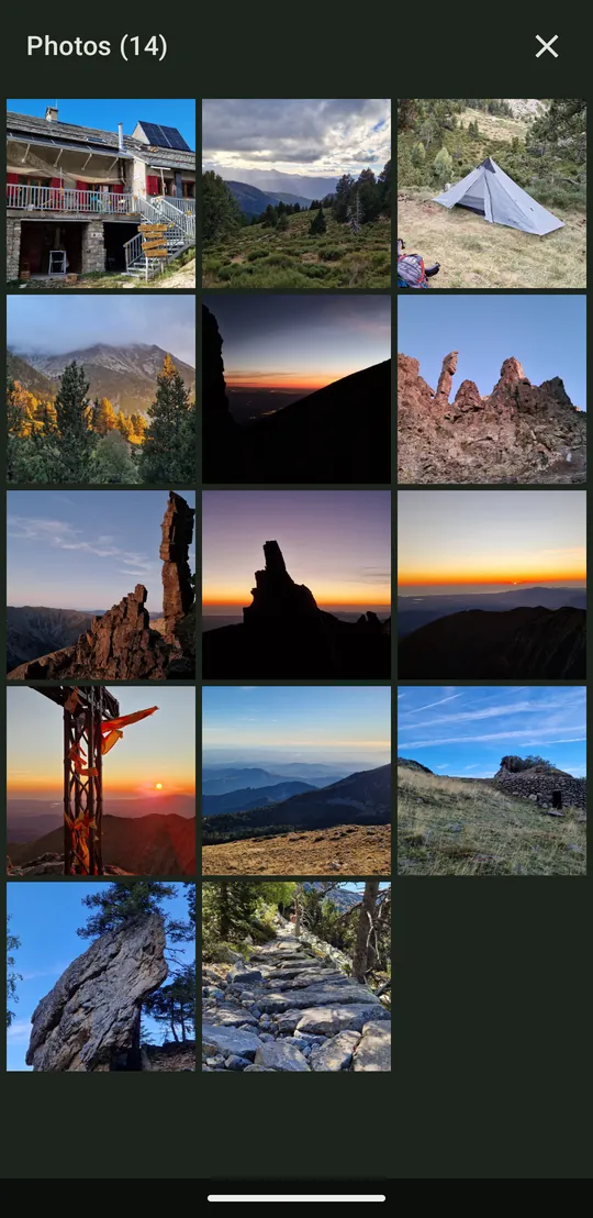
Keep every completed hike with a note, tags, and photos placed where they were taken.
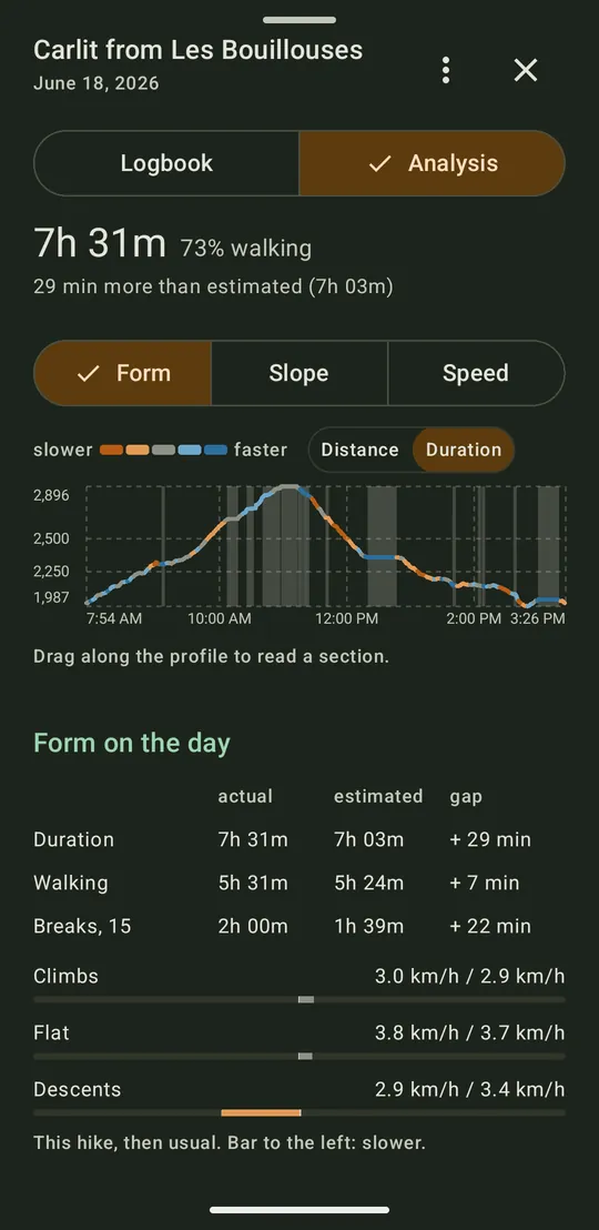
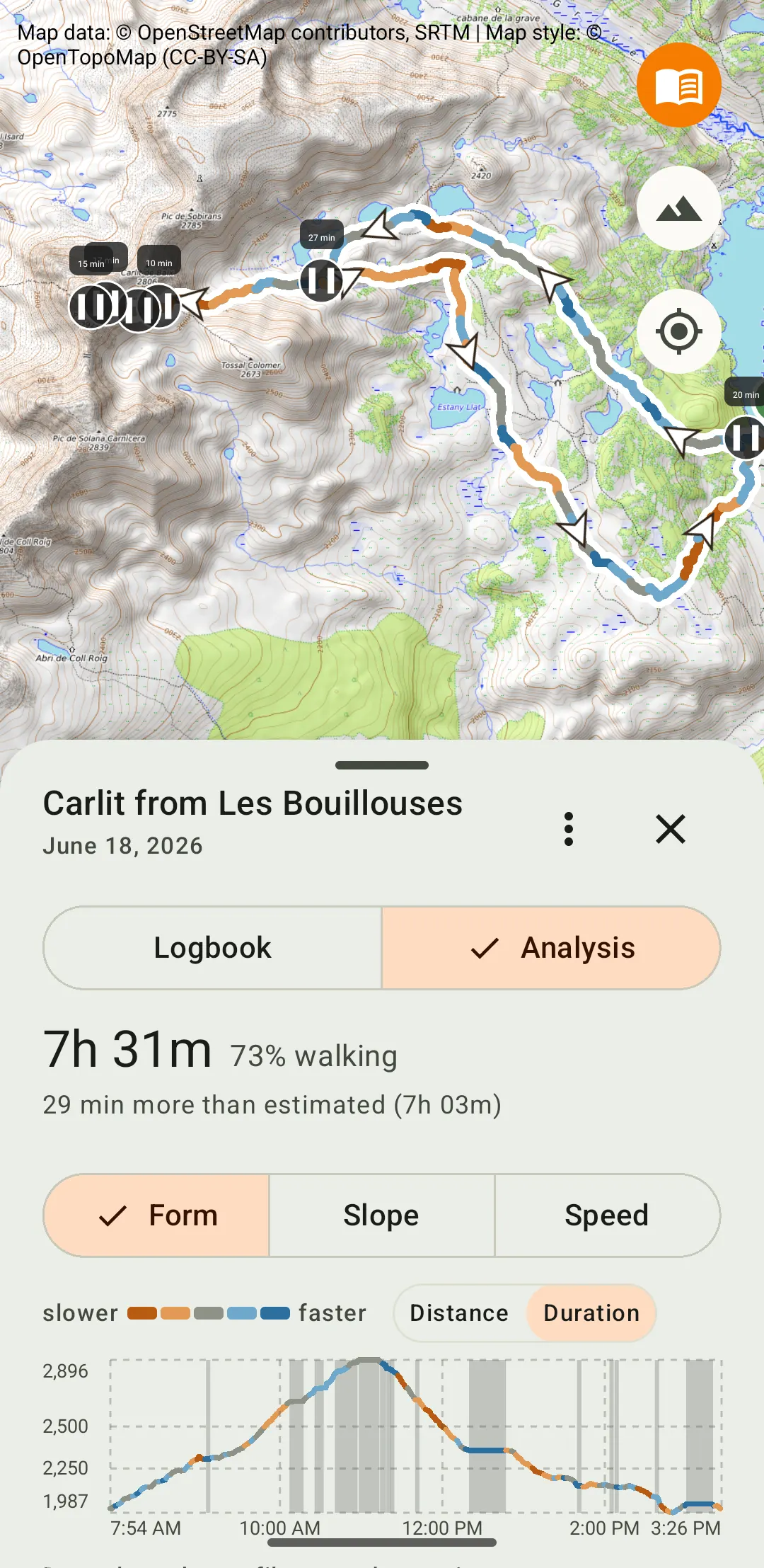
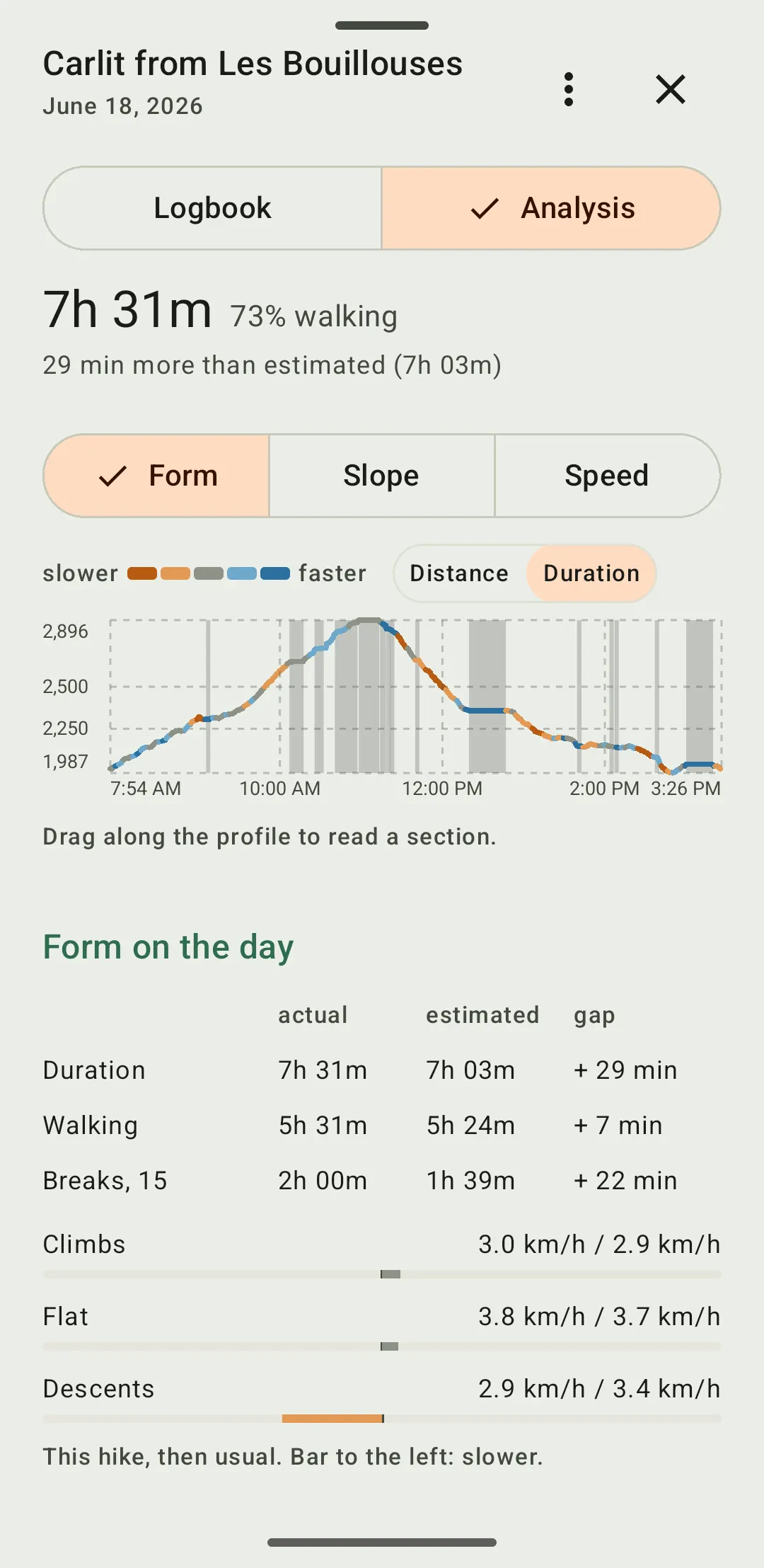
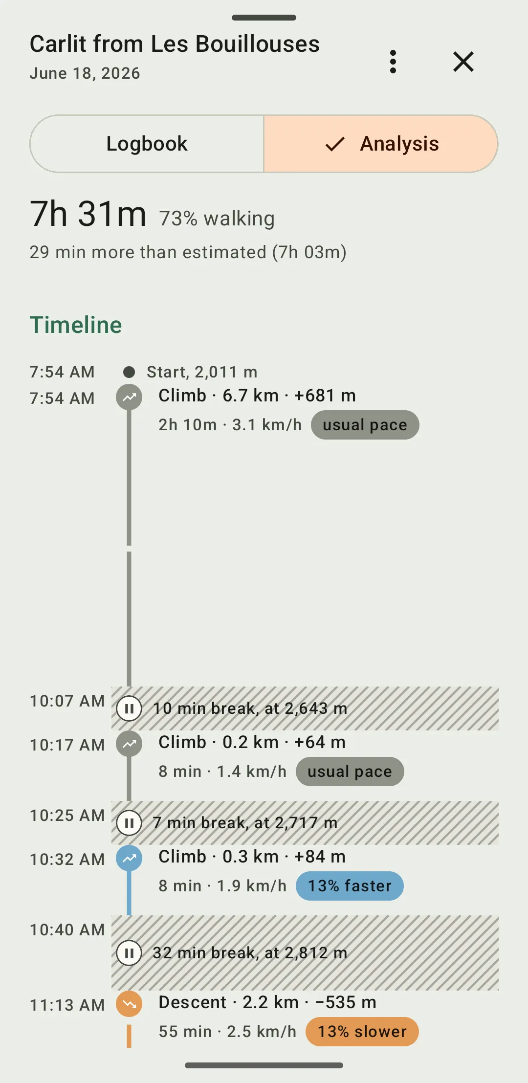
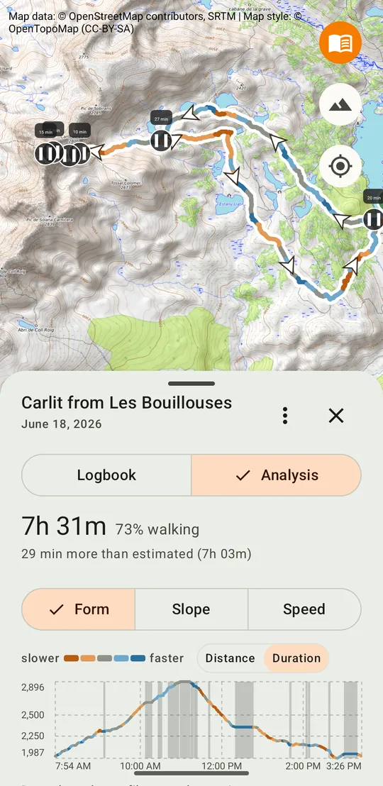
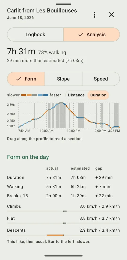
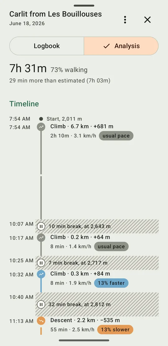
See your form on the day, the slope or the speed along the track, read each section, compare with the usual pace and with the estimate, separate walking time from breaks.
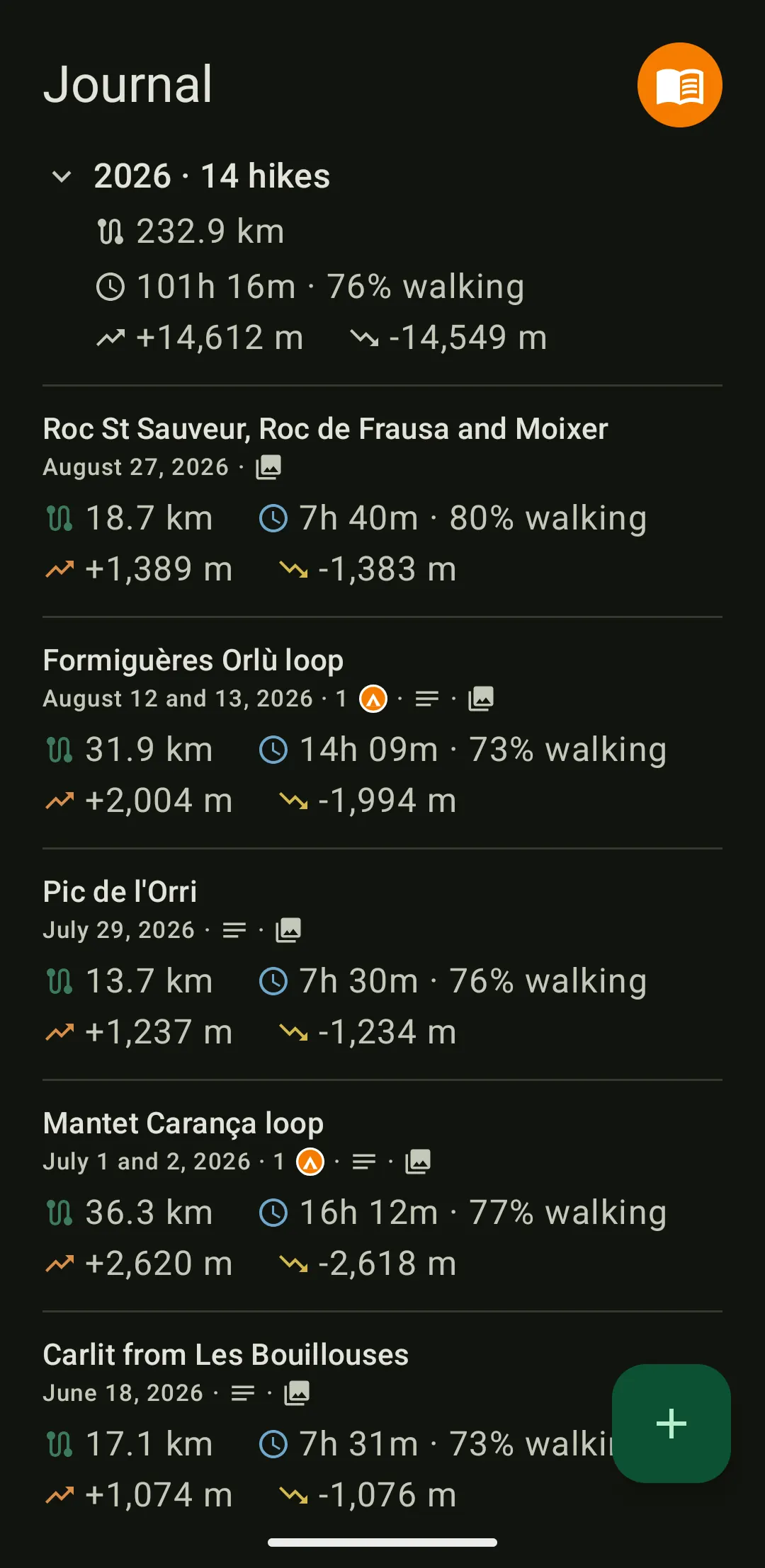
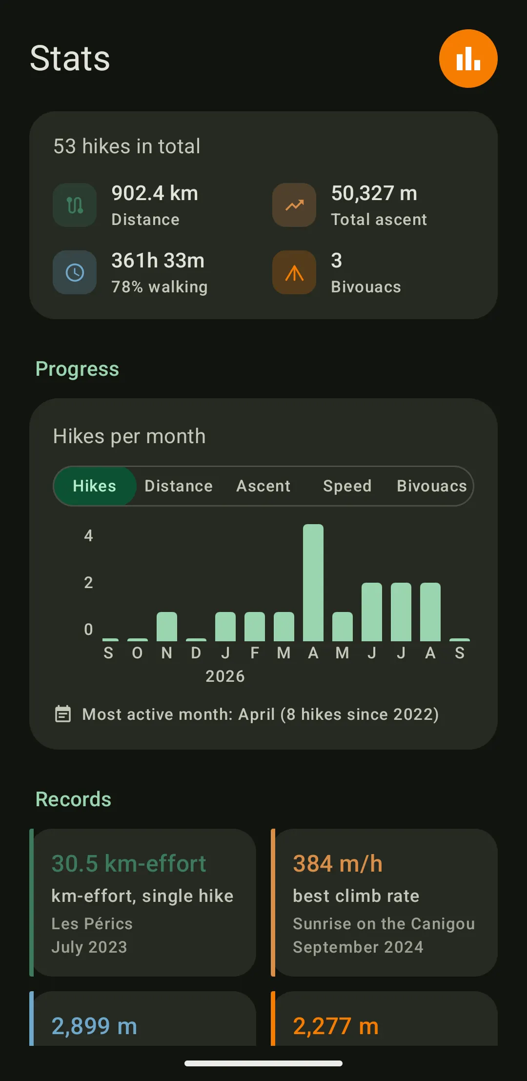
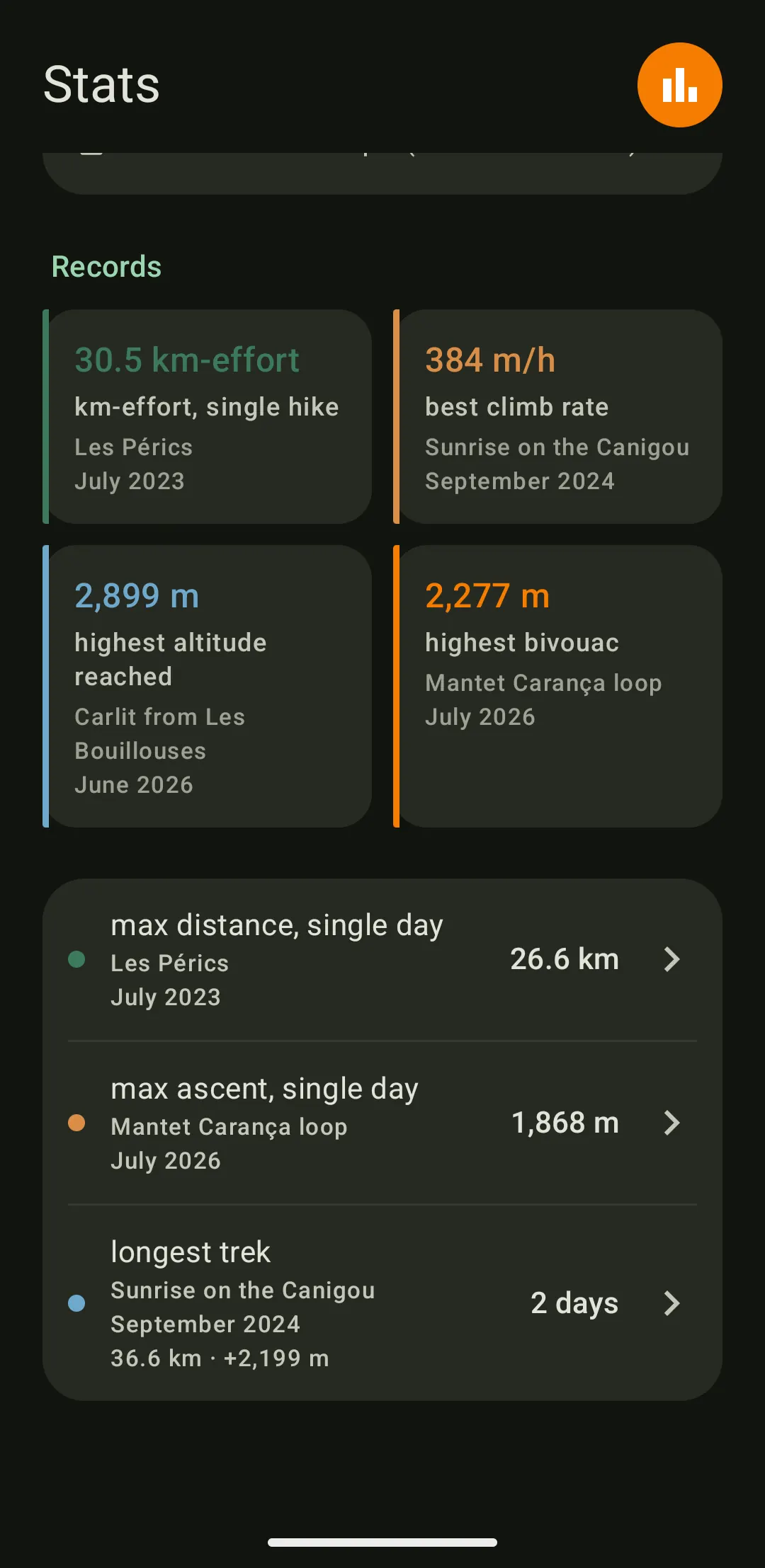
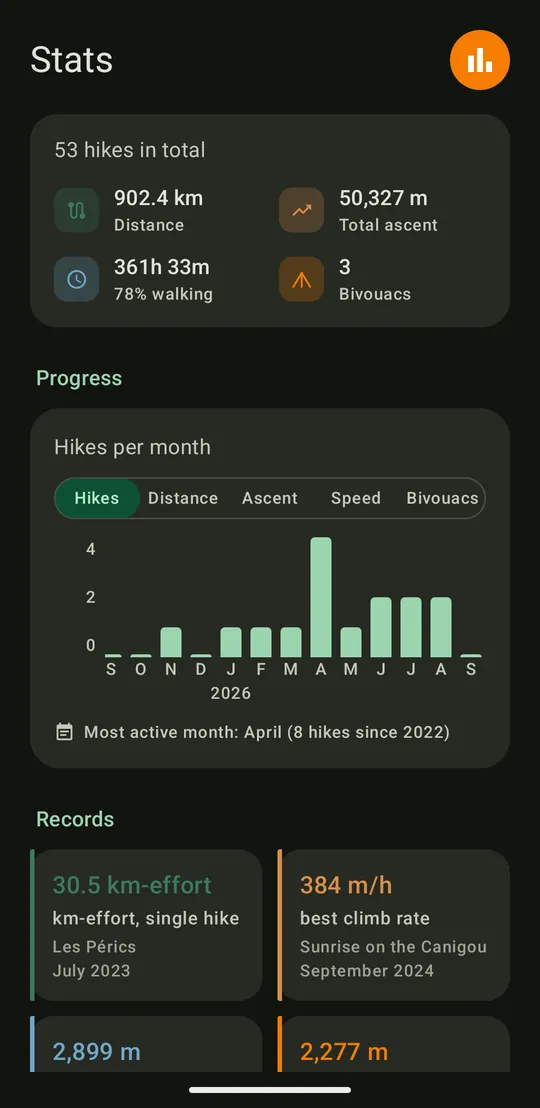
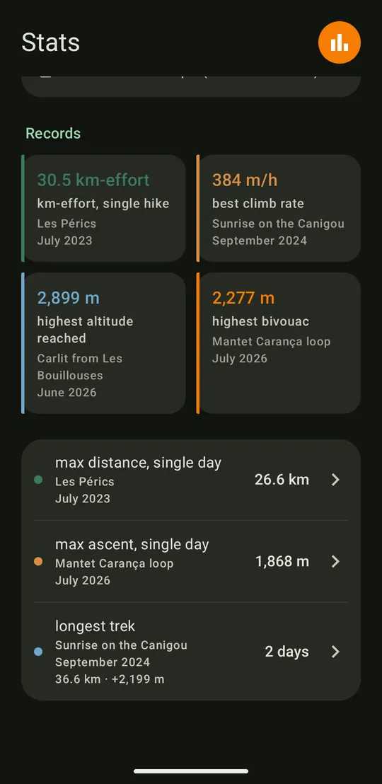
Totals, month-by-month progress and personal records, with actual duration and walking share. Each record leads back to the hike it comes from.
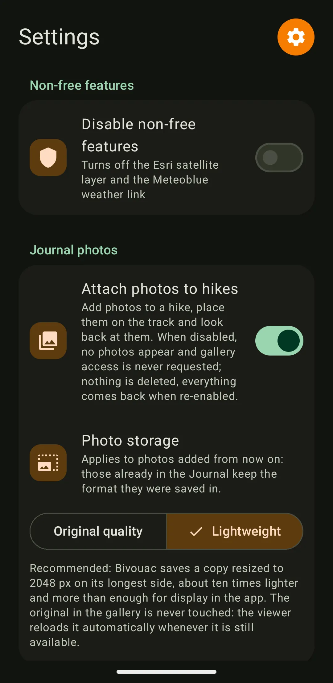
The app's only network connection: downloading map tiles. The satellite layer (Esri) and the weather link (Meteoblue), which are non-free services, are turned off by a single switch in Settings. Details are in the privacy policy.
For Android 8 and later. Interface in English and French, following the device's language.


Bivouac is for before and after the outing, not during it. On the trail, watches, GPS units and navigation apps already do that job very well.
Bivouac reads GPX files. To prepare an outing, the track comes from a route-planning website or app. For a completed outing, it comes from the watch, the GPS or the app used during the hike, which can all export to this format.
The file opens from the app's file picker, or is shared straight from another app to Bivouac. Several files imported together into the Journal are recognised as the days of a single outing.
Yes. Tracks, journal, analysis and stats are stored on the device and remain available offline. Only the map tiles come from the Internet: an area already displayed stays cached on the device and shows again without a network; an area never displayed stays blank.
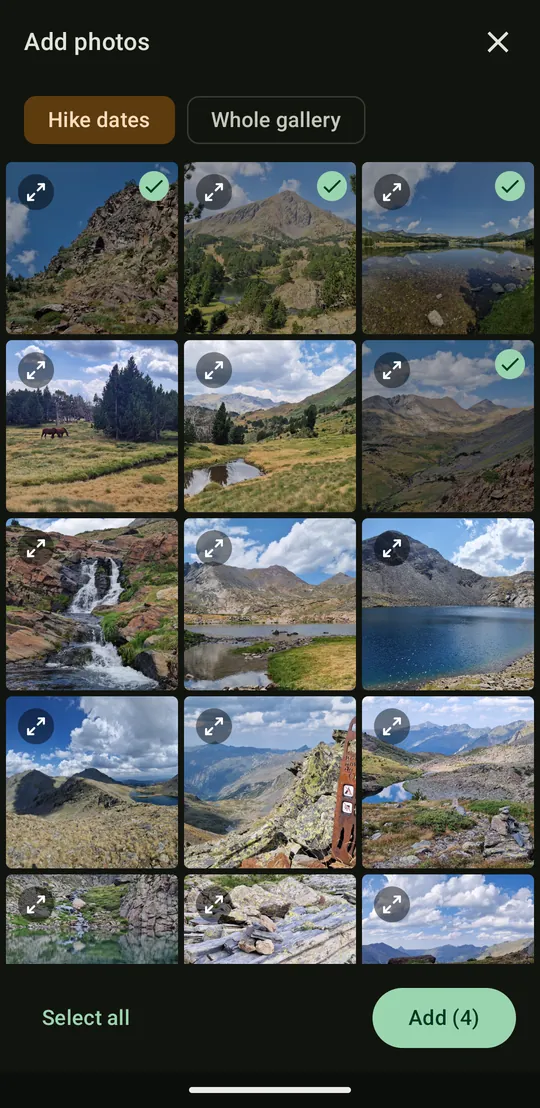
To place a photo on the track, Bivouac reads the GPS position recorded in the photo. Its picker offers straight away the photos taken during the hike, give or take two hours, with access to the whole gallery if needed.
This takes two permissions: reading images, and the “media location” permission, which gives access to the GPS position recorded in the photos. Both are requested only the first time photos are used. From Android 14, limited access to selected photos only is supported. The photo feature can be turned off entirely in Settings, and photos never leave the device.
Bivouac sends nothing on its own. If Android backup is enabled on the device, it may include Bivouac's data, photos excluded, in the Google account backup. On a device without a Google account, this mechanism does nothing.
For a complete copy, photos included, the backup in the “Settings” screen exports all the data to a file, wherever chosen. That is the way to go before changing phones or reinstalling.
The GitHub, Google Play and F-Droid versions are signed with the same key, so Android accepts one as an update to the other, with no loss of data. An app installed from GitHub then receives updates from the Play Store as if it came from there. F-Droid distributes that same file, signed by the developer and rebuilt identically by F-Droid before publication.
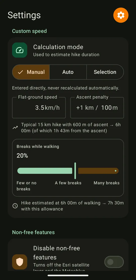
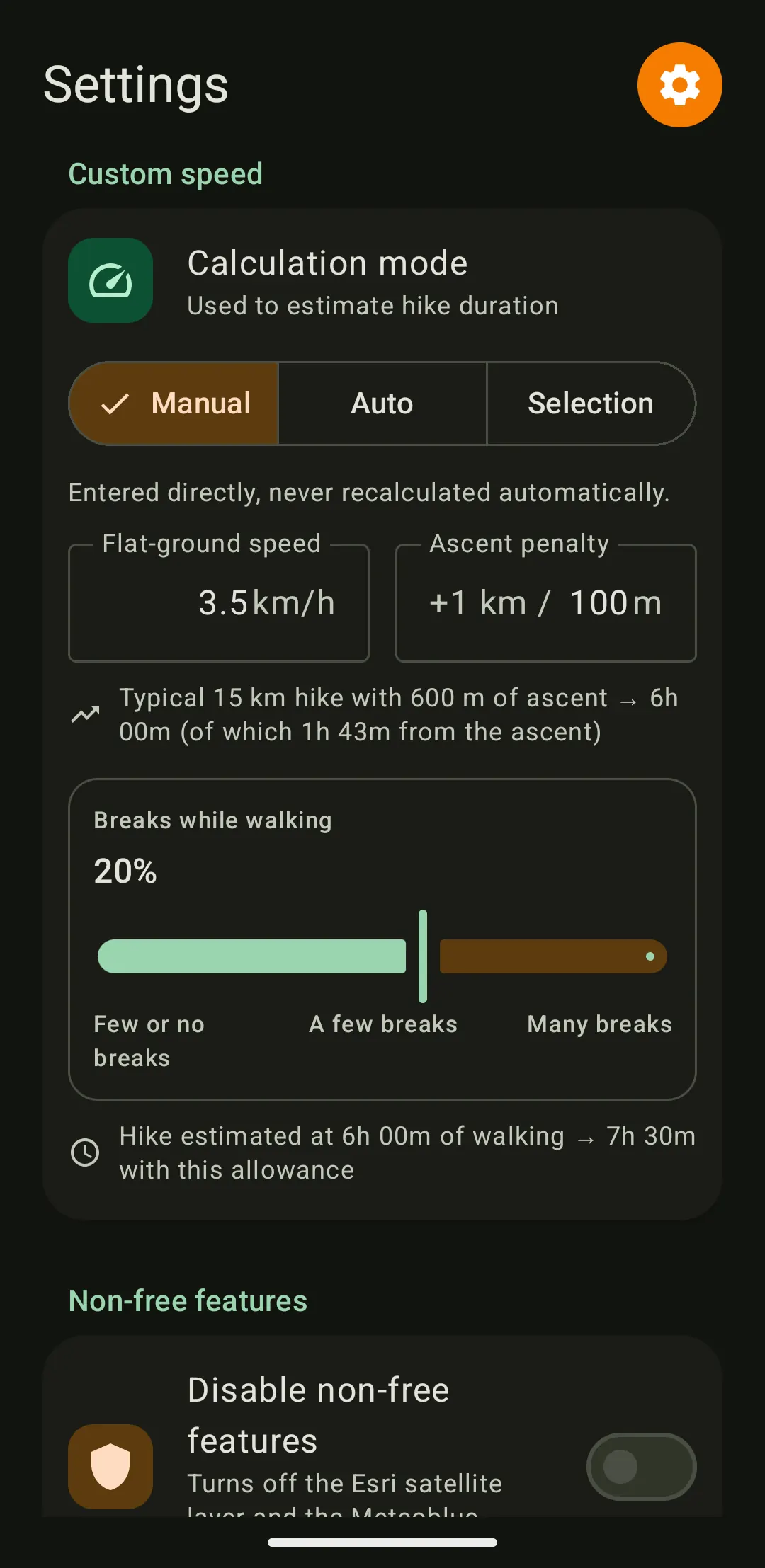
The estimated duration of a stage combines two figures: a walking speed on the flat, and a penalty for elevation gain. Both can be set by hand, or calculated from the hikes already in the Journal.
To calculate them, Bivouac splits each hike into short sections, which separates what comes from the pace on the flat from what comes from the climbing. Stops (break, photo, snack) are detected and set aside, so that a long break does not suggest slow walking. A stop means staying within 15 m for at least 2 minutes: the same definition is used by the Analysis view and for the actual durations in the Journal.
As a result, without a margin, the estimate counts walking time only and ignores the breaks to come. The “Breaks while walking” slider in Settings adds that margin, set by hand or measured on the hikes in the Journal.
The elevation penalty does not distinguish climbing from descending. On most hikes the two go together, and a separate factor would not add real precision.
In the Journal, a day usually matches one file. When a file holds several days, Bivouac looks for nights spent without recording: a stop of at least four hours that touches the night, between 7 pm and 5 am local time, is taken as a bivouac. A five-hour nap or a two-hour dinner is not.
For each stop found, the app asks whether to split the days with a bivouac, or whether it was just a break. Bivouac: the hike reads day by day, as if each day had been imported in its own file. Break: the hike stays a single day, and the stop counts as a break, in the actual duration but not in the walking time. The original file is never modified.
Existing hikes are reviewed on the first launch after the update, with the same question. To come back to it later, for instance after answering "break" too quickly, a hike's menu offers "Detect bivouacs". A split cannot be undone: delete the hike and import it again.
The calculation separates the pace on the flat from the elevation penalty, like an equation with two unknowns. A single hike cannot tell a long, flat route from a short, steep one. The “Auto” and “Selection” modes therefore stay unavailable as long as the Journal, or the selection, holds fewer than two hikes.
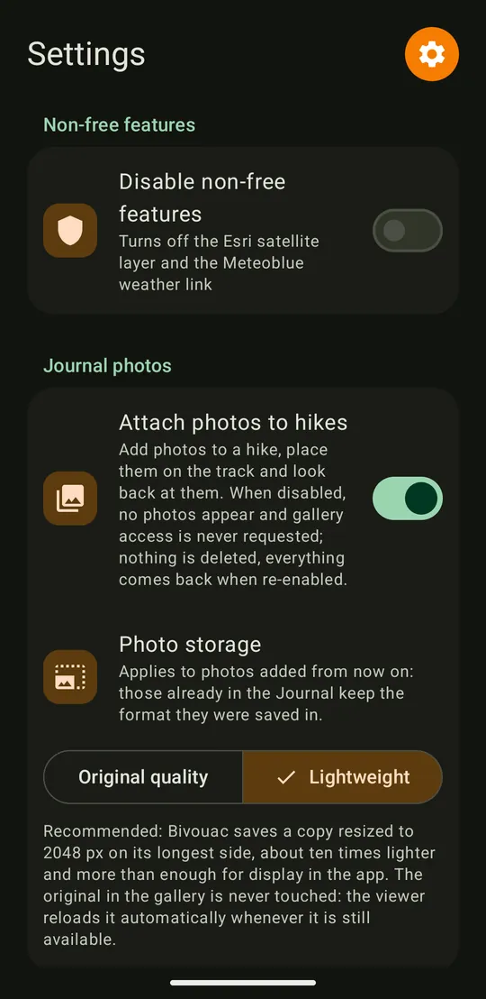
Bivouac keeps its own copy of every photo attached to a hike, so as not to depend on the gallery. In “Original quality”, the copy is identical to the photo. In “Lightweight”, it is reduced to 2048 pixels on its longest side, about ten times lighter, which is more than enough for a phone screen. In this mode, the full-screen viewer shows the original as long as it is still in the gallery.
New installations start in Lightweight. Photos already imported can be recompressed from Settings, where the “Storage usage” screen shows how much space tracks and photos take up.
 Bivouac